
Filter by
SubjectRequired
LanguageRequired
The language used throughout the course, in both instruction and assessments.
Learning ProductRequired
LevelRequired
DurationRequired
SkillsRequired
SubtitlesRequired
EducatorRequired
Explore the Remote Sensing Course Catalog

Coursera Project Network
Skills you'll gain: Image Analysis, Amazon Web Services, Image Quality, Computer Vision, Anomaly Detection, Software Quality Assurance, Data Science, Machine Learning, Cloud Computing
 Status: Free Trial
University of Colorado Boulder
Skills you'll gain: Electrical Engineering, Image Quality, Engineering Analysis, Image Analysis, Numerical Analysis, Design Software, Simulation and Simulation Software, Mathematical Modeling, Applied Mathematics, Physics, Differential Equations
 Status: Free Trial
MathWorks
Skills you'll gain: Image Analysis, Computer Vision, Matlab, Geospatial Information and Technology, Data Integration, Medical Imaging, Estimation, Machine Learning Methods, Algorithms
 Status: Free Trial
Technical University of Munich (TUM)
Skills you'll gain: Global Positioning Systems, Digital Transformation, Environmental Monitoring, Aerospace Basic Quality System Standards, Manufacturing Processes, Big Data, Production Process, Cybersecurity, Spatial Data Analysis, Artificial Intelligence, Threat Detection, Automation, Telecommunications, Technology Strategies, Cloud Computing, Data Storage
 Status: Free Trial
Indian Institute of Science
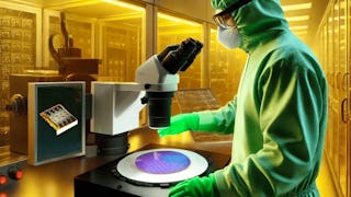
Skills you'll gain: Biomedical Engineering, Semiconductors, Electronic Systems, Medical Devices, Internet Of Things, Electronic Components, Materials science, Laboratory Experience, Manufacturing Processes
 Status: Free Trial
Columbia University
Skills you'll gain: Image Quality, Image Analysis, Computer Vision, Photography, Color Theory, Computer Graphics, Visualization (Computer Graphics), Electronic Components, Semiconductors, Algorithms, Advanced Mathematics, Applied Mathematics
 Status: Free Trial
University of Michigan
Skills you'll gain: Sustainable Development, Geographic Information Systems, Geospatial Mapping, Sustainability Reporting, Spatial Data Analysis, Sustainable Business, Spatial Analysis, Data Storytelling, Environmental Monitoring, Data Visualization, Stakeholder Engagement, Trend Analysis, Decision Making
 Status: Free Trial
Skills you'll gain: Computer Vision, Image Analysis, Deep Learning, Matlab, Applied Machine Learning, Machine Learning, Motion Graphics, Supervised Learning, Predictive Modeling, Artificial Intelligence and Machine Learning (AI/ML), Visualization (Computer Graphics), Geospatial Information and Technology, Data Integration, Medical Imaging, Data Validation, Estimation, Machine Learning Methods, Performance Tuning, Algorithms
 Status: Free Trial
University of Colorado Boulder
Skills you'll gain: Electrical Power, Electrical Systems, Electric Power Systems, Mechanical Engineering, Mechanical Design, Electronic Components, Energy and Utilities, Architectural Engineering, System Monitoring, Vibrations, Control Systems, Performance Tuning, Engineering Calculations
 Status: NewStatus: Free Trial
Case Western Reserve University
Skills you'll gain: Exploratory Data Analysis, Spatial Data Analysis, Spatial Analysis, Geospatial Information and Technology, Descriptive Statistics, Statistical Modeling, R Programming, Geographic Information Systems, Statistical Analysis, R (Software), Probability & Statistics, Ggplot2, Oil and Gas, Data Analysis, Simulations, Statistical Methods, Rmarkdown, Data Cleansing, Box Plots, Plot (Graphics)
 Status: Preview
Duke University
Skills you'll gain: Environmental Monitoring, Environmental Regulations, Environmental Laws, Environmental Science, Geospatial Information and Technology, Ethical Standards And Conduct, Global Positioning Systems, Research, Data Management, Critical Thinking
 Status: Preview
École Polytechnique Fédérale de Lausanne
Skills you'll gain: Geographic Information Systems, Data Modeling, GIS Software, SQL, Database Design, Spatial Data Analysis, Database Management, Query Languages, Relational Databases, Data Capture, Data Storage
In summary, here are 10 of our most popular remote sensing courses
- Build Image Quality Inspection using AWS Lookout for Vision: Coursera Project Network
- Optical Efficiency and Resolution: University of Colorado Boulder
- Introduction to Computer Vision: MathWorks
- Digitalisation in Space Research: Technical University of Munich (TUM)
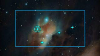
- Fundamentals of Sensors: Indian Institute of Science
- Camera and Imaging: Columbia University
- GIS: Geographic Information Systems for Sustainability: University of Michigan
- Computer Vision for Engineering and Science: MathWorks
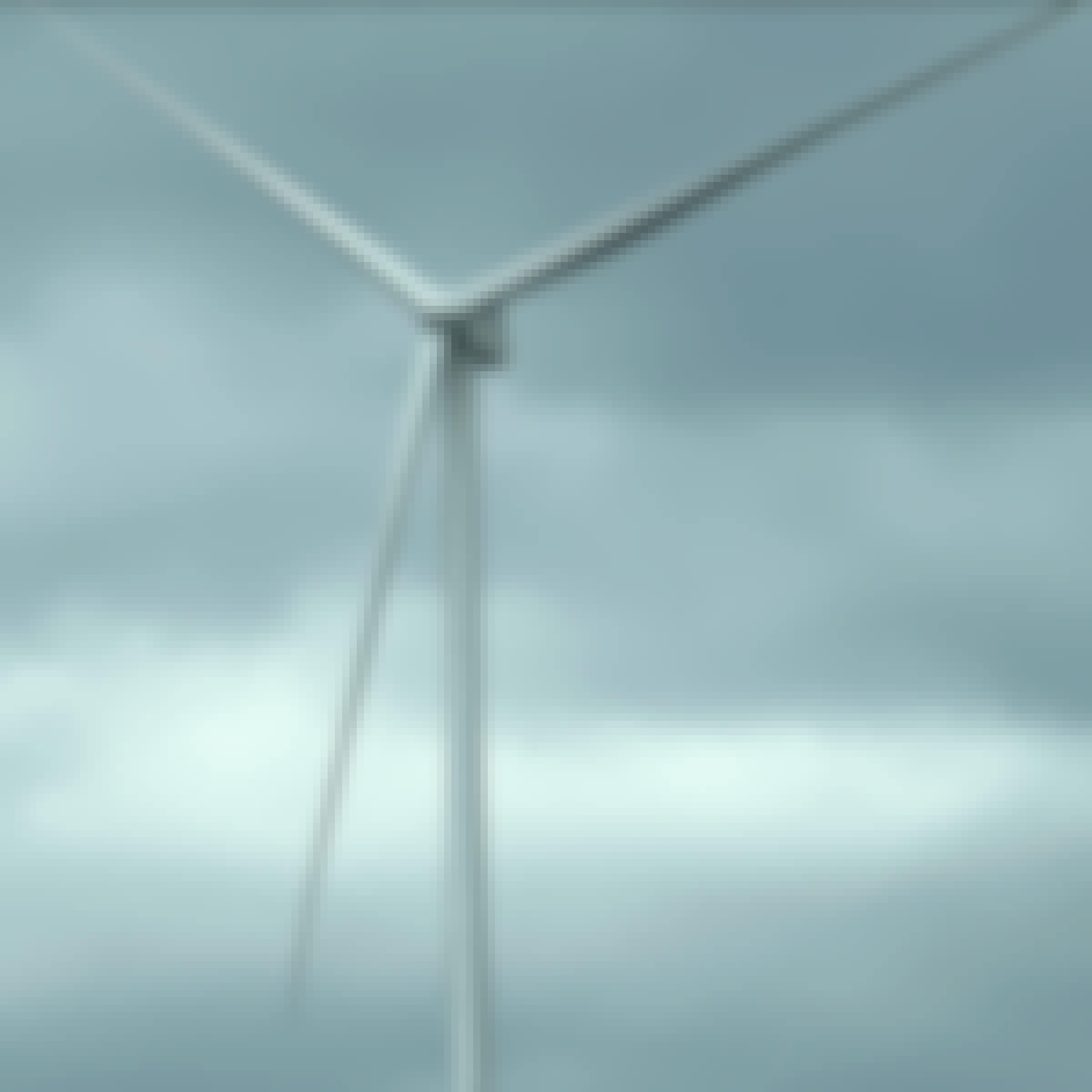
- Wind Turbine Sensors: University of Colorado Boulder
- Practical Geospatial Geostatistical Modeling: Case Western Reserve University


